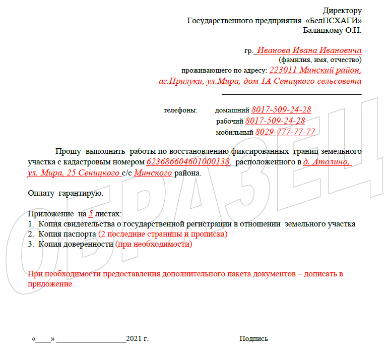
Restoration of the land plot border

Only the fixed border of the land plot is restored on the ground.
Restoring the fixed border of the land plot consists in finding on the ground the position of the turning points of the fixed boundary of the land plot previously established by a geodetic method and securing, if necessary, the corresponding points with new boundary marks instead of the lost ones.
The restoration of the unfixed border of the land plot, as well as the boundary of the land plot, established by the aerial photo-geodetic method, is not carried out. With respect to such land plots, at the request of the interested person, work is carried out to establish a fixed boundary of the land plot using a geodetic method.
Work on the restoration of the border of the land plot in the event of the loss (destruction) of boundary marks and the border (boundary lines) ensure the determination of the location of the boundary of the land plot on the ground in accordance with the materials for establishing this boundary.
The restoration of the border of the land plot is carried out in the presence of the land user of the land plot or his representative (in the case of actions on his behalf).
Measurement of angles, lengths of lines and connection (binding) of landmarks with points of the geodetic network are carried out using a technology similar to that used in establishing fixed boundaries of land plots.
Below is a sample application for the restoration of a land plot.
