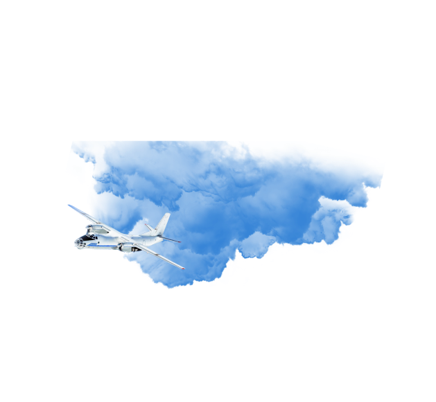
Aerial photography from unmanned aerial vehicles
State Enterprise "BelPSKHAGI" performs aerial photography from unmanned aerial vehicles (UAVs), one of the most effective methods for obtaining high quality remote sensing data of the Earth, with a resolution of 1 centimeter. Aerial photography from UAVs is the best option for prompt acquisition of spatial data when it is required to perform a survey in the shortest possible time with minimal cost.
Areas of application of aerial survey data from UAVs:
Land management
Aerial surveillance opens up ample opportunities for monitoring real estate and land. Experts can remotely check the implementation of legislation in the field of land management and identify violations of the land code. Reliable data will allow you to accurately calculate the rental and purchase price. It is also possible to identify discrepancies between the boundaries of the actual use of land plots with the data of the state real estate cadastre.
Urban planning
Urban zoning and spatial planning, as well as architectural design and complex cadastral work, need accurate and up-to-date spatial data. Keeping the cartographic base up to date in a constantly changing environment using traditional land-based methods is time consuming and requires significant funding. The lack of topographic and geodetic information, in turn, significantly slows down the processes of territorial planning. The introduction of modern technologies gives a tangible positive economic effect. The use of UAVs allows you to quickly receive complete, relevant and regularly updated information about the state of the urban environment at minimal cost. Such data will help improve the quality of decisions made and improve management efficiency. And together with publishing technologies, aerial footage data will serve as an excellent resource for public involvement in urban planning.
Complex cadastral works
Due to the high accuracy and detail of the resulting orthophoto image, it can be used to perform cadastral work. Photomaps of the terrain obtained with the help of the UAV will serve as an excellent replacement for the cartographic base (if it is absent) or its qualitative supplement when drawing up schemes of the boundaries of land plots. They will help to simplify the clarification of the position of the boundaries of land plots, determining the locations of buildings, and correcting cadastral errors. And photorealistic three-dimensional models will inform about the capital, height, number of storeys of buildings, characteristics of objects without redundant reconnaissance and site visits. UAVs will help to ensure the preparation of a territory plan containing the information on land plots necessary for cadastral registration.
Digital cartography
Aerial photography from UAVs significantly reduces the cost and labor costs of topographic work. High quality of the image makes the orthomosaic more informative and clearer than the materials on duty topographic plans. The combination of field photography of objects invisible from the air and office digitization from a photographic plan provides the most complete and reliable maps of urban areas. With UAV technologies, you can easily create visual three-dimensional representations of objects of complex configuration, and the possibility of regular surveying allows you to map the dynamics of processes over time.
Design in 3D
High-precision 3D models open up unprecedented possibilities for urban design. Comparable in accuracy to airborne laser scans, they are great for measuring building dimensions, determining visibility, calculating volumes and plotting profiles. Compatibility of data formats allows you to take advantage of CAD design and then move on to space-time modeling and analysis in GIS.
Creation of information systems
UAV technologies are capable of creating an excellent spatial basis for information systems. These can be systems for the automation of urban planning work processes or information portals for a mass audience. A unified information environment will help to promptly process requests from stakeholders and generate the necessary reports.