Geoinformation data resource DZZ

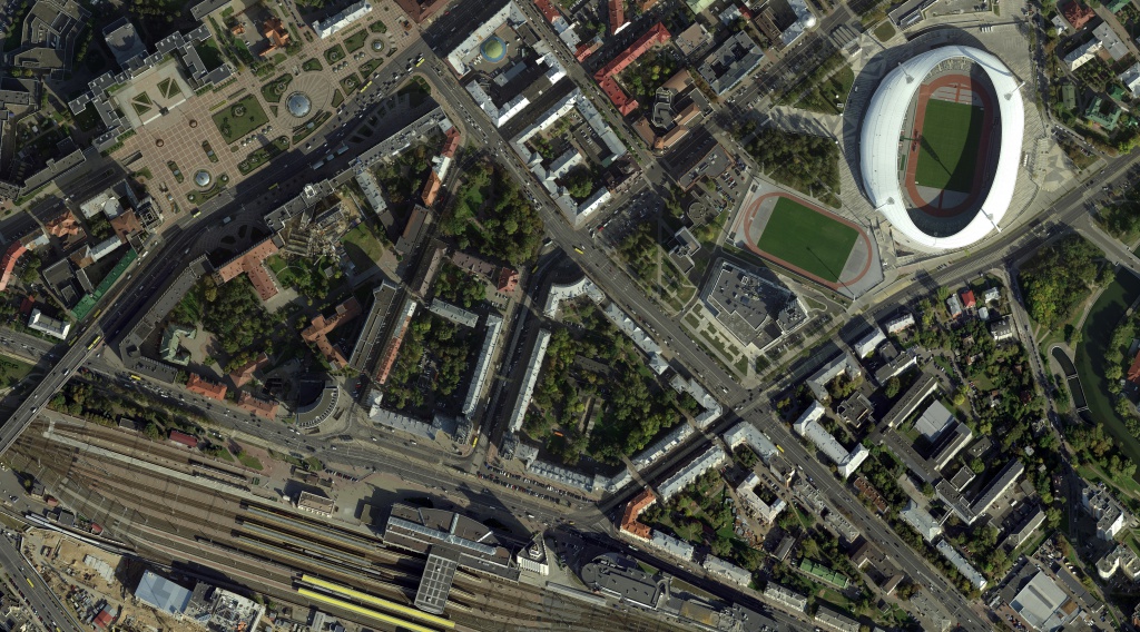
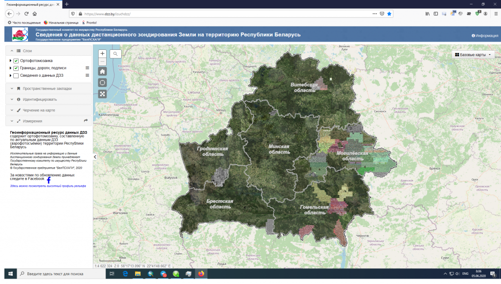 The state enterprise "BelPSKHAGI" forms the state Geoinformation resource of remote sensing data of the Earth (hereinafter - the Georesource of remote sensing data). This resource includes the data of optical-electronic survey of the territories of the Republic of Belarus, obtained in different years. The materials presented on the ERS Data Georesource belong to the category of ultra-high spatial resolution data (from 1 cm to 50 cm), and are presented in the form of a seamless orthophotomosaic, access to which is organized through the web interface.
The process of formation of the ERS data Georesource is going on constantly. It is replenished with both new remote sensing data and data from previous years, which allows you to view the history of the development of the territories of the Republic of Belarus in time. To get acquainted with the actual spatial data presented on the ERS Data Georesource, go to the "ERS Data Mosaic" page.
The main task of the Remote Sensing Data Georesource is to provide access to web services for orthophoto images, which can be used as a cartographic basis for various consumers who create their own geoinformation and cartographic applications.
The georesource of remote sensing data has already found application in the state land cadastre, in the implementation of technical inventory and state registration of real estate, as a spatial basis (substrate) for other cadastres and GIS, as well as for information and reference purposes.
Currently, the Earth remote sensing data Georesource is one of the important forms of presenting Earth remote sensing data on the territory of the Republic of Belarus. For a number of areas of professional activity (such as earth sciences, ecology and nature management, regional economics, social and political technologies, business informatics, etc.), the possibilities of a cartographic resource should be considered as a basic toolkit for solving various analytical problems, as well as means of regional planning and management.
All this makes the Earth remote sensing data Georesource a useful and popular Internet resource. On various major foreign portals such as Google Maps, CloudMade Maps, Bing Maps, Yandex.Map, image services are included in the line of basic network services offered to users. Their popularity is determined by the demand for photographic images of the earth's surface as one of the effective forms of presenting information about the surrounding world.
