Aerial photography with UAVs

The state enterprise "BelPSKHAGI" provides services for aerial photography, using unmanned aerial vehicles and processing materials obtained during aerial photography, as well as services for processing materials provided directly by the customer.
Aerial photography from UAVs is one of the most effective methods for obtaining spatial data of the highest quality with a resolution of up to 1 centimeter. Aerial photography from UAVs is the best option for quick acquisition of spatial data. Unmanned aerial vehicles can be equipped with various equipment for exploration work.
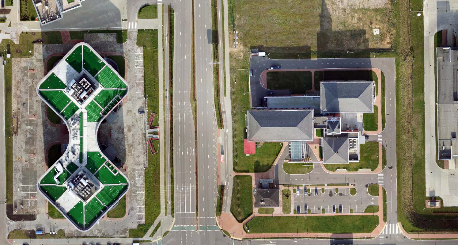
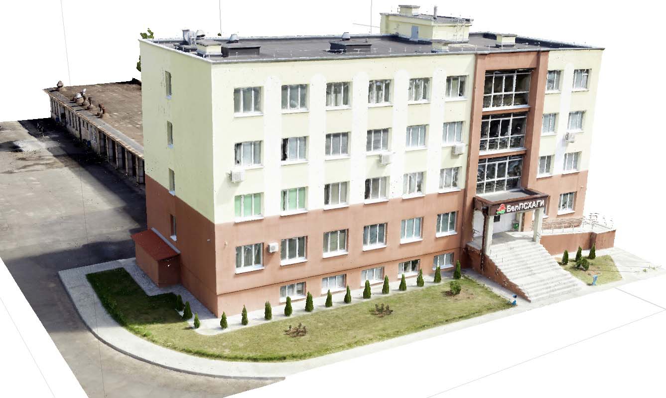
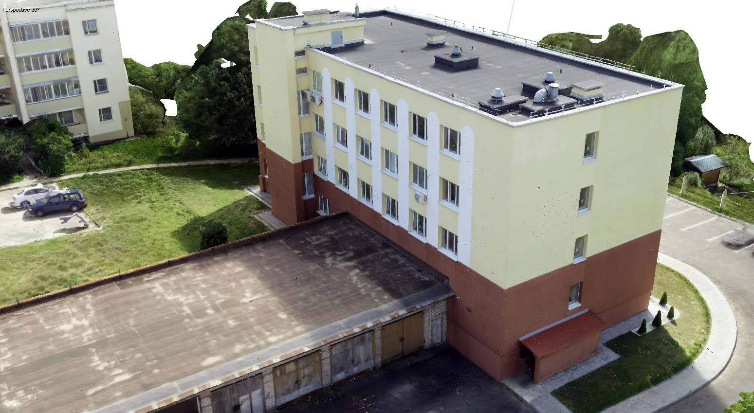
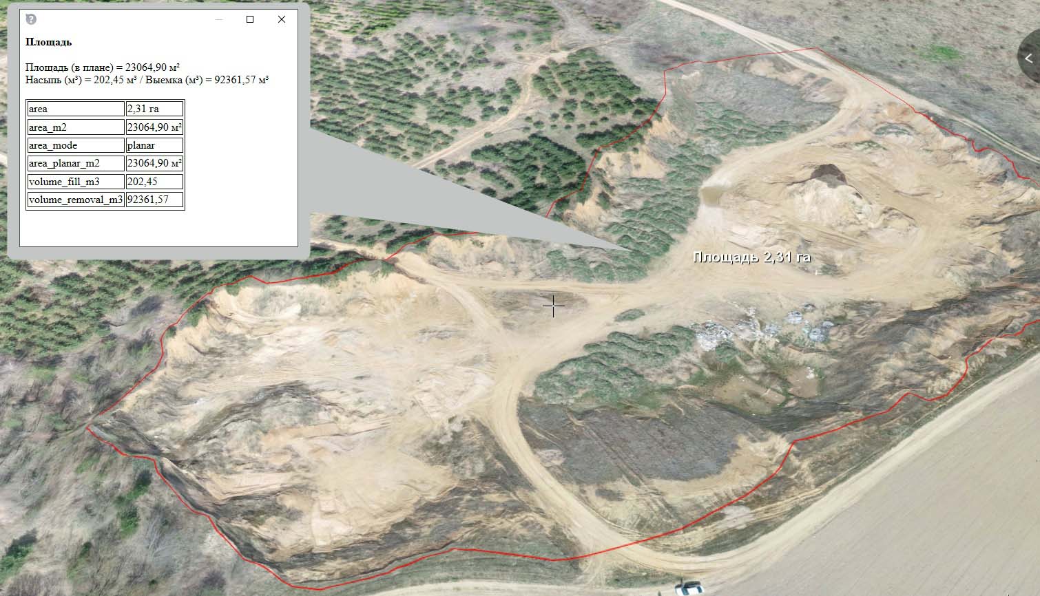
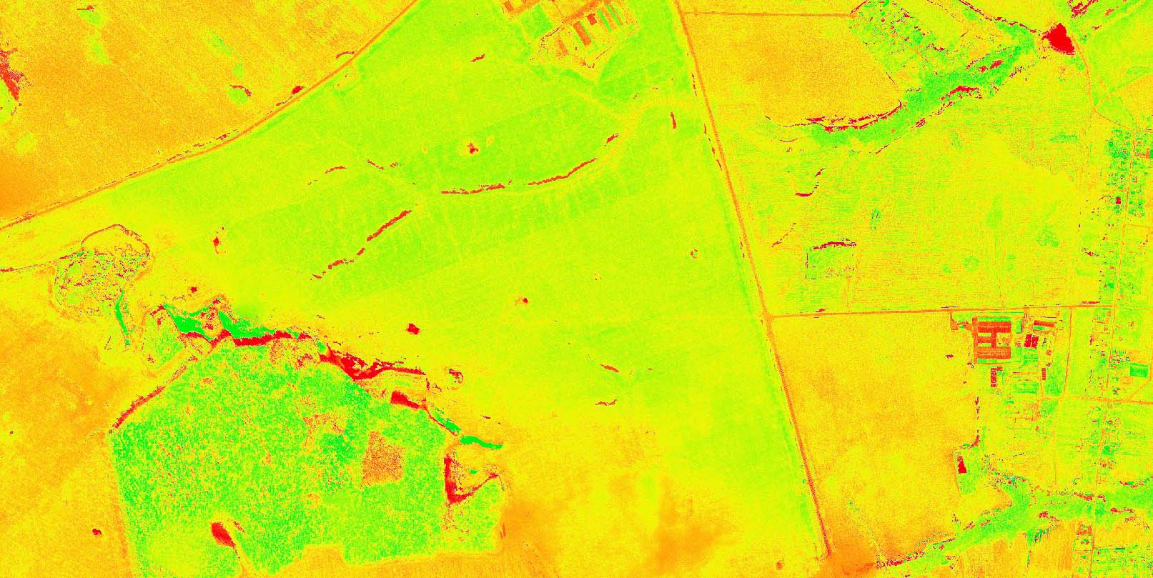
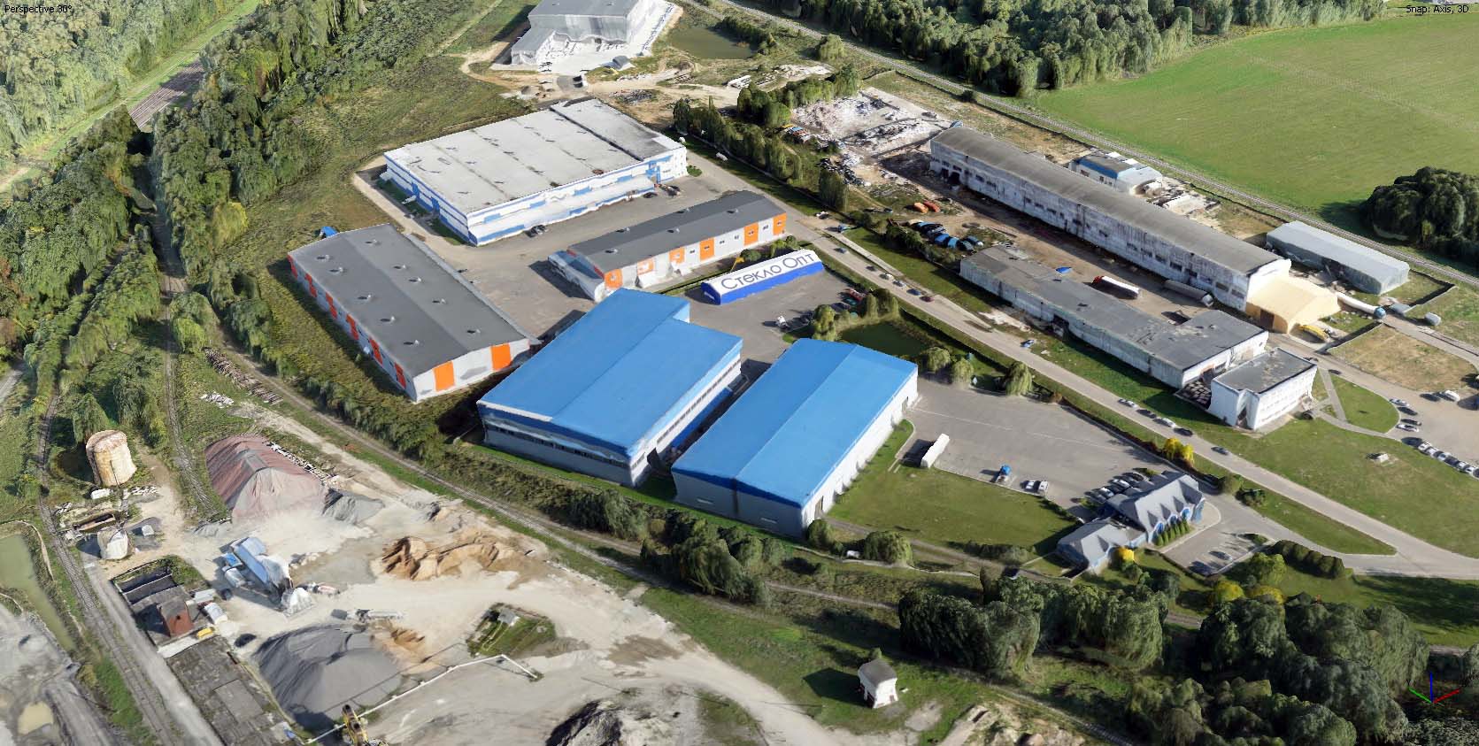
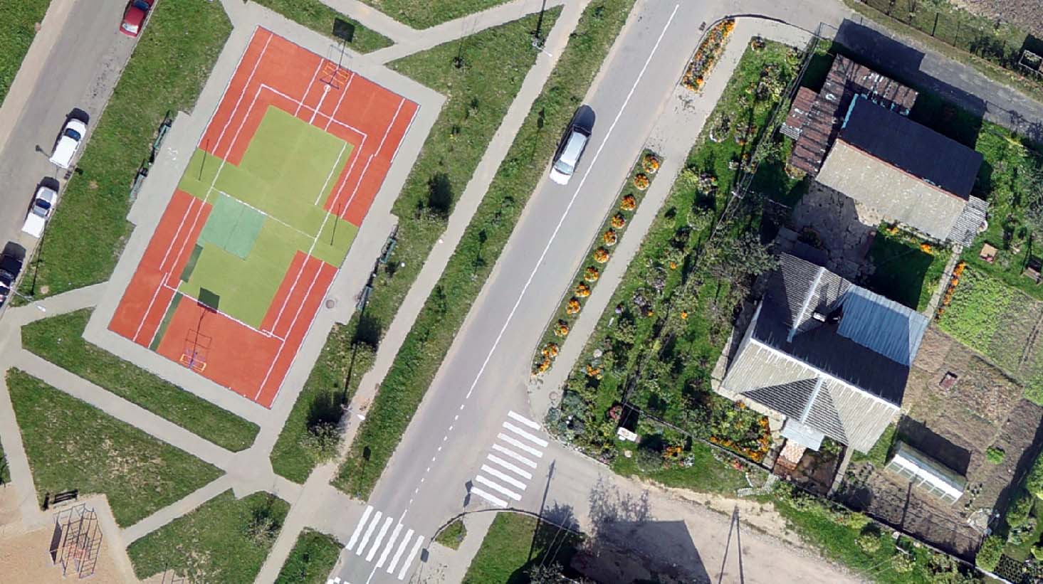
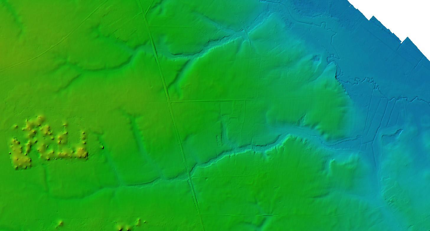
Based on the results of aerial photography, the following products are formed: orthophotomap, dense point cloud, digital terrain model/digital elevation model, three-dimensional models of settlements, interactive field maps with vegetation indices.
Aerial photography and office work include:
- obtaining permits for the production of aerial photography;
- aerial photography using UAVs;
- creation of orthophotomaps or other types of products required by the customer;
- obtaining permits for the publication and transfer of work performed.
Use our services and order aerial photography from a UAV that will meet all your requirements. To order, use the form below.

Choose a convenient way to request it

Order a free consultation
