Enterprise history
The state enterprise "BelPSKHAGI" traces its history back to January 1, 1950, when, by order of the Council of Ministers of the USSR dated June 17, 1949, No. 8838-r, the Western aerial photo and geodetic enterprise (branch) of the All-Union office "Selkhozaerosyomka" of the USSR Ministry of Agriculture was established (order No. 666 of the Ministry of Agriculture of the USSR dated June 29, 1949).
The enterprise was tasked with performing a full cycle of field and aerial photo-geodetic works in order to obtain planning and cartographic materials necessary for land management of collective and state farms of the Republic of Belarus, Kaliningrad region, the Baltic republics, and the Smolensk region.
The structure of the Western enterprise "Selkhozaerosimka" included "Field survey expedition No. 1", which until 1983 was located, at different times in the cities: Kaunas (Lithuania), Glubokoe (Vitebsk region), Uzda (Minsk region).
In 1983, "Field Survey Expedition No. 1" received its own production complex in the village of Priluki, Minsk District, which included: a four-storey industrial building, garages for parking and repairing a vehicle fleet with storage facilities and an apartment building for expedition employees.
The enterprise, already in those years, was equipped with all the necessary equipment to perform a full range of works from processing aerial photographic negatives to the release of final products.
The expedition prepared planning and cartographic material on the territory of the Republic of Belarus and the Smolensk region. During that period, such works were carried out as:
- preparation of technical projects and photolaboratory processing of APS materials;
- planned-high-altitude referencing and interpretation of aerial photographs;
- photogrammetric thickening;
- production of photographic plans, drawing plans and matrices;
- various types of work to update planning and cartographic materials for the purposes of land management and land inventory;
- all types of topographic surveys and geodetic works.
Since January 1, 1990, on the basis of "Field survey expedition No. 1", by order of the All-Union Order of the Red Banner of Labor of the Institute of Agricultural Aerial Photogeodetic Surveys (VISKHAGI) dated December 28, 1989 No. 483-k, the Belarusian VISKHAGI survey expedition was created (village Priluki, Minsk district).
The expedition was set the goals of the most complete and timely provision of planning and cartographic materials to enterprises of the agro-industrial complex of the Byelorussian SSR, for the needs of the state land cadastre and land management.
Subsequently, by order of VISKHAGI (Moscow) dated June 11, 1990, No. 192-k, on the basis of the Belarusian exploration expedition, the Belarusian branch of the All-Union Order of the Red Banner of Labor of the Institute of Agricultural Aerial and Geodetic Surveys (VISKHAGI) was created.
Until 1963, the expedition was headed by Vitavtas Verikas. Since 1963, Leonid Nikiforovich Soloviev, a graduate of the land management faculty of the Belarusian Agricultural Academy, became the head of the expedition, and later, he became the first director of the Belarusian branch of VISKHAGI, created by order of the All-Union Order of the Red Banner of Labor of the Institute of Agricultural Aerial Photo Geodetic Surveys (VISKHAGI). Awarded for high performance - the Order of the Badge of Honor.
The main tasks facing the organization at that time were agricultural aerial photo-geodetic and topographic surveys and surveys for the needs of land management, as well as for the development and design of anti-erosion and other measures aimed at the most complete and rational use of land resources.
Later, by order of the Committee on Land Reform and Land Management under the Council of Ministers of the Republic of Belarus, dated November 28, 1991, the Belarusian branch of VISKHAGI was renamed into the Belarusian Enterprise of Agricultural Aerial Photographic Geodetic Surveys (BelPSKHAGI).

In various years the enterprise was headed by: - Petukhov Pavel Petrovich, a graduate of the land management faculty of the Belarusian Agricultural Academy, Minko Leonid Mikhailovich, a graduate of the agronomic faculty of the Azov-Black Sea Agricultural Institute.
In 1994, an agreement was concluded between the Governments of the Swiss Confederation and the Republic of Belarus, "On the provision of financial assistance", in order to strengthen cooperation between the two countries and to assist in the further development of the reform process in the Republic of Belarus. Under this agreement, the Government of the Swiss Confederation allocated gratuitous financial assistance to the Government of the Republic of Belarus for the implementation of a pilot project for the creation of land and environmental cadastres. The help was used for the purchase of devices, technologies and technological equipment, consulting assistance of Swiss specialists, as well as training specialists.

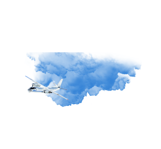
The main part of equipment and technologies from the Swiss company Leica Geosystems is concentrated in the State Enterprise "BelPSKHAGI". It was delivered: RC-30 aerial photography camera, SD-3000 photogrammetric devices, DVP digital photogrammetric stations, GPS geodetic class devices. For photogrammetry, the following software was purchased: PATB GPS, Orima, MicroStation, PRO600. The ADALIN software was purchased to provide the land information system.
On the basis of Swiss companies: Ingenieur - und Vermessungsburo SENNHAUSER, WERNER & RAUCH AG, as well as GEOFOTO SA - training for BelPSKHAGI specialists was organized. The training concerned the issues and methods of creating a land information system based on the ADALIN software, as well as the production of photogrammetric and planning of aerial photography. Later, the Swiss specialists carried out additional trainings in the Republic of Belarus and quality control of the work performed by BelPSKHAGI.
At present, the State Enterprise "BelPSKHAGI" is a subsidiary of the RUE "Design Institute Belgiprozem" and is part of the State Committee for Property of the Republic of Belarus.
The enterprise occupies a leading position in the Republic of Belarus in the field of aerial survey work, processing of digital aerial photographs, is a reliable executor of complex projects for land management, geodetic and cartographic support of design and construction work. Creates photo maps, photomaps, orthomosaics, topographic maps and plans based on aerial and space materials. Performs all types of topographic and geodetic measurements.
State Enterprise "BelPSKHAGI" is an enterprise equipped with modern equipment and staffed with highly qualified personnel. The professional team, consisting of graduates of the Belarusian Agricultural Academy, BSU, MIIGAiK, is constantly growing and developing.