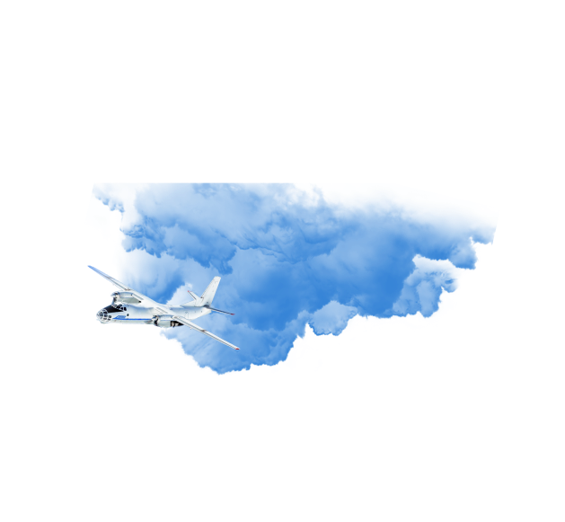
Geo-resource of remote sensing data

Want to create a map or GIS? Carry out an inventory of your infrastructure based on current geodata? Or just want to see your home from a bird's eye view? You should use the Geographic Information Resource of Earth Remote Sensing Data!

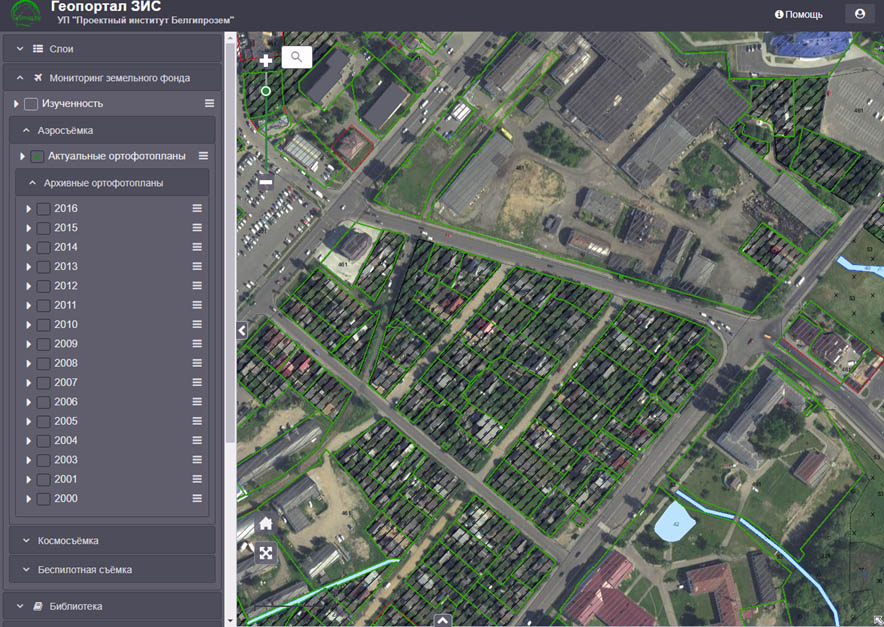
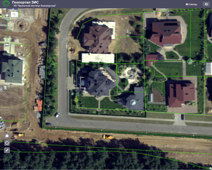
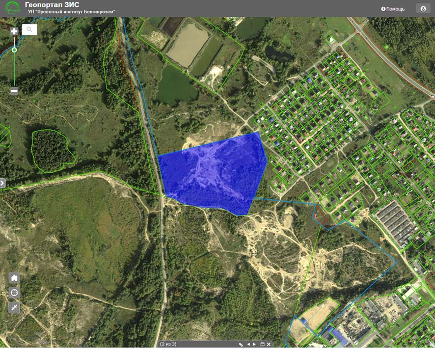
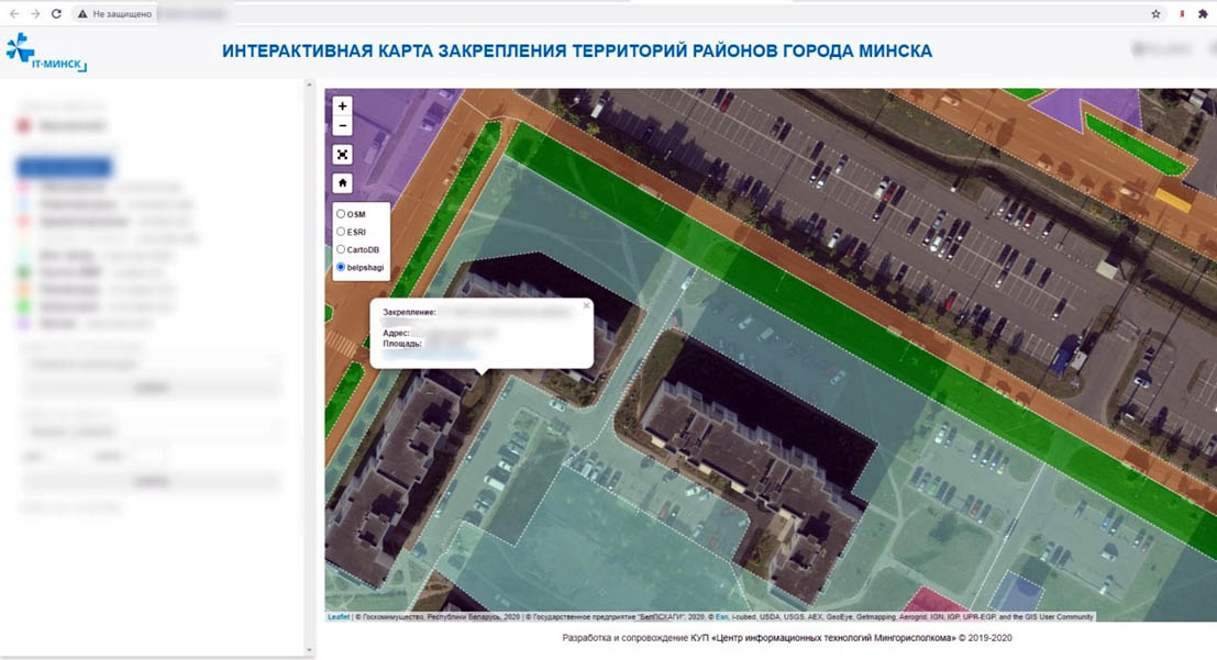
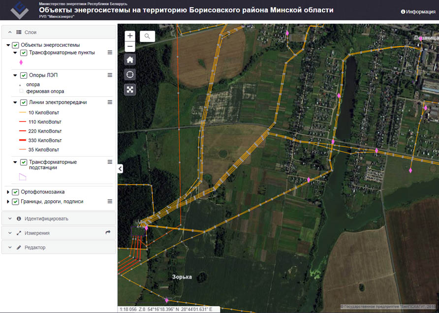
ERS Georesource is an information service that allows you to view information about the availability of ERS data on the territory of the Republic of Belarus and their characteristics through the Internet and a browser. The data placed on the ERS Georesource have high visual qualities (spatial resolution of the survey - from 5 to 30 cm per pixel) and spatial accuracy (the accuracy of determining the coordinates of the terrain points by orthophoto mosaics - up to 30 cm). These indicators, combined with round-the-clock online access to data, as well as the ability to create mosaics in the user-required coordinate system and integrate it into most popular GIS applications (such as ArcGIS, QGIS, AutoCAD, ZuluGIS, GIS Panorama, etc.) enable ERS Georesource to successfully compete in the market of ERS data services with such well-known brands as Yandex.Maps, Google Maps and Bing.

Currently, two options for using ERS Georesource data are available to consumers. The free version, implemented on the website https://www.dzz.by/, allows you to get acquainted with the current remote sensing data for the territory of certain regions and cities of the Republic of Belarus, information about them, as well as with the plan of the next aerial survey of the area of ​​interest.

In the commercial version, orthophotomosaics becomes available to the consumer for quick download via the Internet into their applied geoinformation systems and programs, which makes it possible to use it to create new thematic layers based on the current orthophotomosaic.


As additional services, the consumer also has the opportunity to access the archived data available on the ERS Georesource for the requested territory, as well as add an orthophoto substrate to the user's information resources and sites.

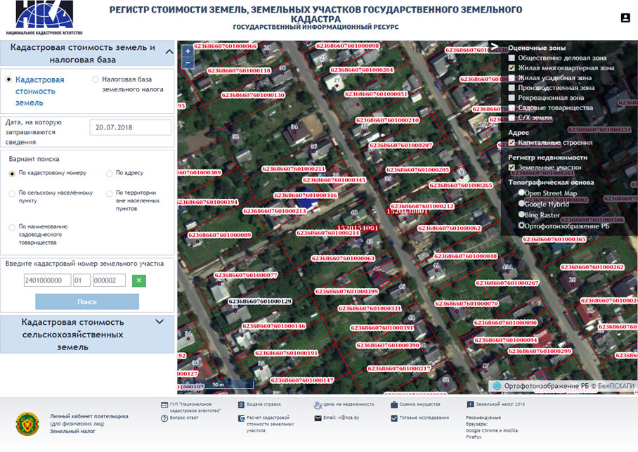
The ERS georesource can be used in various directions: the state land cadastre, when carrying out technical inventory and state registration of real estate, creating and updating topographic and navigational maps and plans, as a spatial basis (substrate) for other cadastres and GIS, as well as in information and for reference purposes. The geographic information resource of remote sensing data can be used as an independent source of spatial data for a GIS consumer, as well as as an integral part of other information systems and portals, which actually makes it a part of a promising spatial data infrastructure of the Republic of Belarus.

To order the service of access to the ERS Georesource, you can fill out the form below.

Take the first step to using geospatial data: use the services of the ERS Georesource - look at your country in a different way!

Choose a convenient way to request it

Make a phone call: +375(17)5092418
Fill out the application form below

Order a free consultation

Код PHP*">
Код PHP*">

Hereby, in accordance with the provisions of the Civil Code of the Republic of Belarus, the Law of the Republic of Belarus of 10.11.2008 No455-Z " On information, informatization and information protection", Decree of the President of the Republic of Belarus of 01.02.2010 No60 " On measures to improve the use of the national segment of the Internet», in accordance with the adopted law of the Republic of Belarus No. 225-Z "On Advertising" of 10.05.2007, and other legislation of the Republic of Belarus freely, at their own will and in their own interest I express my unconditional consent to the processing of my personal data by the State Enterprise "BelPSHAGI", registered in accordance with the legislation of the Republic of Belarus at the address: Republic of Belarus, 223011, Minsk region, Minsk district, agro-town of Priluki, Mira Street, 1 – a (hereinafter referred to as the Operator).

Personal data - basic and additional personal data of an individual subject to registration in the population register in accordance with the legislative acts of the Republic of Belarus, as well as other data that allows identifying such a person. This Consent is issued by me for the processing of the following personal data: First name, Last name, phone number, email address, company name, website name

The consent is given to the operator to perform the following actions with my personal data using automation tools and/or without using such tools: collection, systematization, accumulation, storage, clarification (update, change), use, depersonalization, for the purposes specified below, as well as performing any other actions provided for by the current legislation of the Republic of Belarus, both by non-automated and automated methods. This consent is given to the operator for the processing of my personal data for the following purposes: 1. further communication on my application; 2. sending advertising and informational messages; 3. carry out activities to promote goods and services; 4. evaluation and analysis of the operator`s system operation; 5. ad placement performance analytics; 6. informing me about promotions, discounts, special offers, products, services, and events related to the products of SE "BelPSHAGI" through e-mail newsletters.

This agreement is valid indefinitely from the moment of its provision.

I am aware of the possibility of further unsubscribing from receiving advertising and informational mailings by unsubscribing from it, by clicking on the link "Unsubscribe" in the advertising and information letter or send a corresponding message to the State Enterprise "BelPSHAGI" by e-mail mail@belaerogis.by.

by pressing the button, I accept the terms of the agreement.*
*Required fields

Код PHP*">
Код PHP*">
Код PHP*">
*Required fields
Your application has been submitted

Electronic appeal

Код PHP*">
Код PHP*">
Код PHP*">
Send the response to:
Post
Email
*Required fields
Your request has been sent